
Flooding in the river Helge Å, February 2007. 1,63 meters above normal water level. -
Photo: Patrick Olofsson
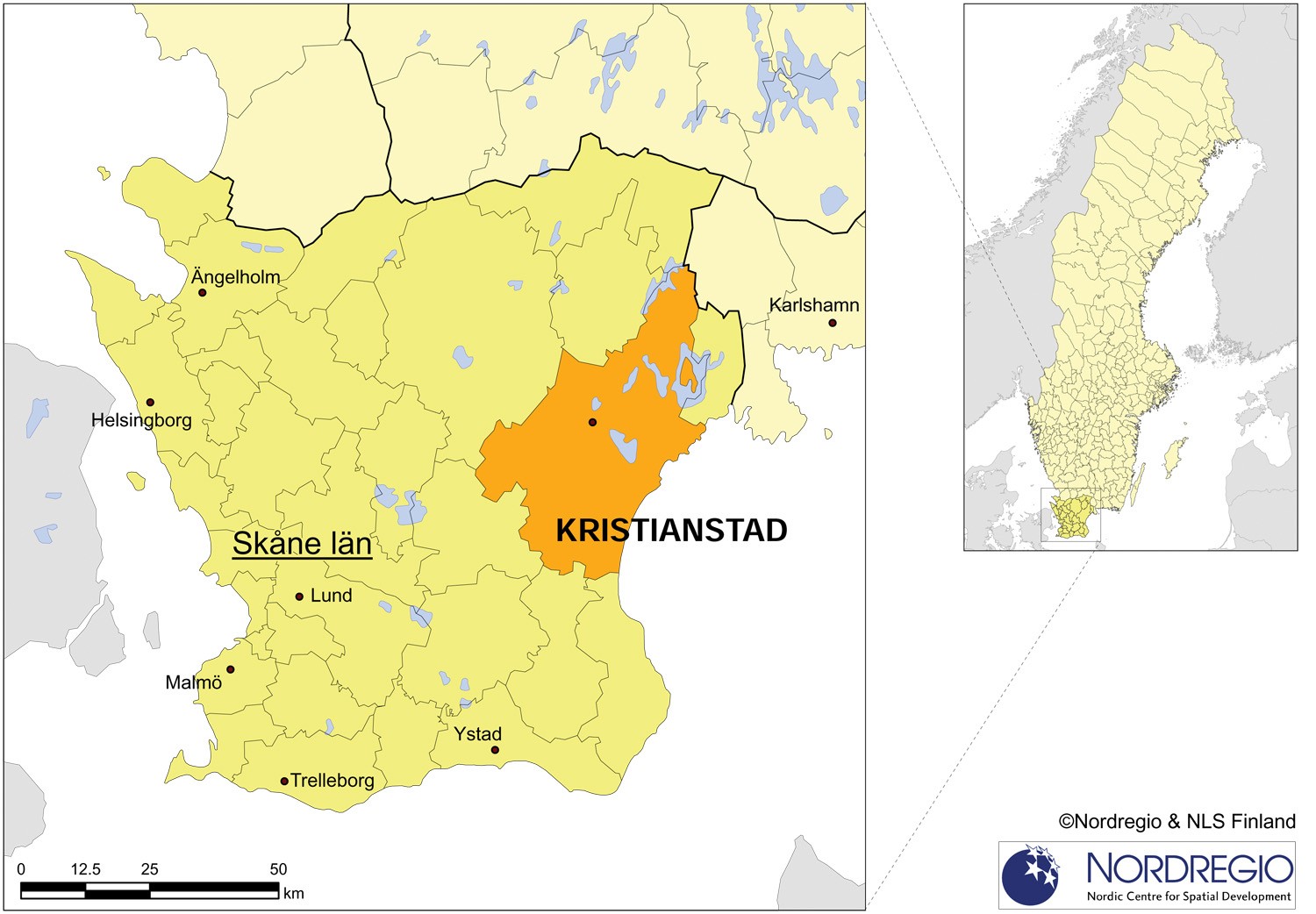
The city of Kristianstad founded by the Danish king Christian IV in 1614 was at that time an important fortress and marketplace in the extended region of Skåne. Situated near the Baltic Sea and on the river Helge å, Kristianstad at that time was designed in such a way as to utilise the surrounding water courses to protect the city from potential attackers.
In 1860 land was recovered from Lake Hammarsjön to further stimulate the already rising level of agricultural production. During the 20th century this plot of land was then used to accommodate the increasing urban sprawl. This development has however now seen the surrounding water transformed from being a city protector into a major threat to the city's future.
Being, in several places, actually situated below sea level, the city can be classified as one of the most flood prone areas in Sweden. More then 10 000 inhabitants as well as the hospital and other critical societal infrastructures are located in the affected areas.
Over the last hundred years or so two major flooding incidents, with water rising above the 2 metre level, have occurred. In 1905 the highest measured water level was observed with water standing at 2.23 metres above normal.
2002 witnessed the most recent major and perhaps also the most destructive flood in the city's history, with water levels reaching 2.15 metres above sea level. The situation reached critical proportions with the old protective barriers close to bursting. Such a situation would have called for a large scale rescue operation where thousands of people would have needed to be evacuated and several critical infrastructural installations would have been threatened or even destroyed.
In 1999 a thorough risk analysis was carried out regarding the possibility of a major flooding event occurring in Kristianstad. The genesis of this work can be traced as far back as the 1980s and in 2001 the initial results outlined in a plan to protect the city from flooding. The project of building new levees and pump stations to protect Kristianstad was however only scheduled to reached full speed after the flooding event of 2002 actually took place.
In this project to protect Kristianstad, a total of 200 million SEK will be spent on the new barriers as well as on the establishment of models for the constant mapping of risks and improved forecasts. In the context of this project, which is planned to be completed in 2012, Kristianstad will receive financial support from the Swedish Rescue Services Agency. When finished, the new barriers and levees will protect the city from a +3.7 metre flooding situation.
As regards Swedish municipalities as a whole Kristianstad's barrier building project is perhaps the most evident and concrete example of adaptation. Tackling the issues raised by adaptation is perhaps the hardest aspect of climate change for Swedish municipalities to address while the actual level of adaptation is often the result of some unexpected event or is based on the persistence of a few well informed individuals.
This is certainly the case in Kristianstad. The municipality has been aware of the threat posed by a major flooding event for many years and that the barriers and levees would in the future have to be upgraded in order to cope with projected future flooding scenarios. Even though the vulnerabilities and risks have long been known, the real process of actually adapting to the new and forecasted flooding levels accelerated only after the 2002 flood when the magnitude of potential damage was displayed on a large scale.

The planned and completed building of new levees and pump stations in Kristianstad. Source: C4 Teknik, Kristianstad municipality
By Per Francke, previous Research Assistant at Nordregio